


Missing information on land area used by global mining activities
Our modern lifestyles and consumption patterns cause environmental and social impacts geographically displaced in production sites thousands of kilometres away from where the raw materials are extracted. Complex supply chains connecting mineral mining regions to consumers often obscure these impacts. However, some mining impacts are not well documented across the globe, for example, where and how much area is used to extract metals, coal and other essential minerals are unknown. This information is necessary to assess the environmental implications, such as forest and biodiversity loss, associated with mining activities.
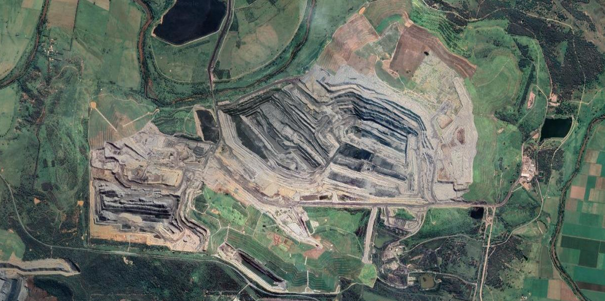
A unique new data set covering mining areas across the world
To cover this data gap, we analysed the satellite images of more than 6,000 known mining regions all around the world. The result of our adventure is a global data set covering more than 21,000 mapped areas adding up to around 57,000 km². We also learned that around 50 % of the mapped mining area is concentrated in only five countries, China, Australia, the United States, Russia, and Chile. Using these data, we can improve the calculation of environmental indicators of global mineral extraction and thus support the development of less harmful ways to extract natural resources. Further, linking these impacts to supply chains can help to answer questions related to our consumption of goods.
Data visualisation and free download
You can explore the global mining areas using our visualisation tool at www.fineprint.global/viewer or you can download the full data set from doi.pangaea.de/10.1594/PANGAEA.910894. The complete description of the data and methods is available from www.nature.com/articles/s41597-020-00624-w.